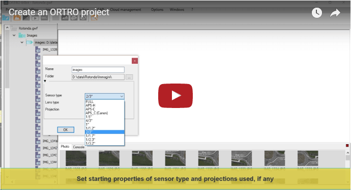
Set initial known camera properties and geographic projections
Show simple actions on images like zoom, pan and how to use multiple views
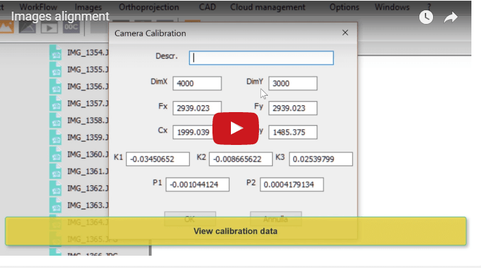
Images alignment
When you align the images, you determine the camera mutual orientation in space for each photo.
The calculation is carried out automatically by ORTRO.
During alignment execution, camera calibration data are also found out as well.
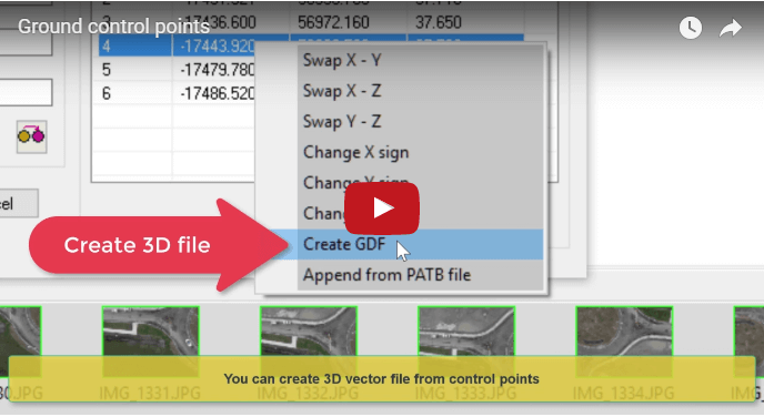
Ground control points
A ground control point is a point of the model which you can relate to a real world point, in that you know its effective world coordinates.
The video shows how to add such a points to the project, in order for you to be able to measure your model afterwords.
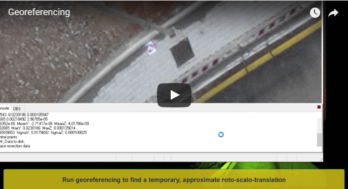
Georeferencing
This is a critical and sensitive aspect of the effort to be done for building a measurable 3D model.
This video shows how ORTRO make a complex procedure simple and direct, without avoiding to keep full control of precision and accuracy constraints of the project.
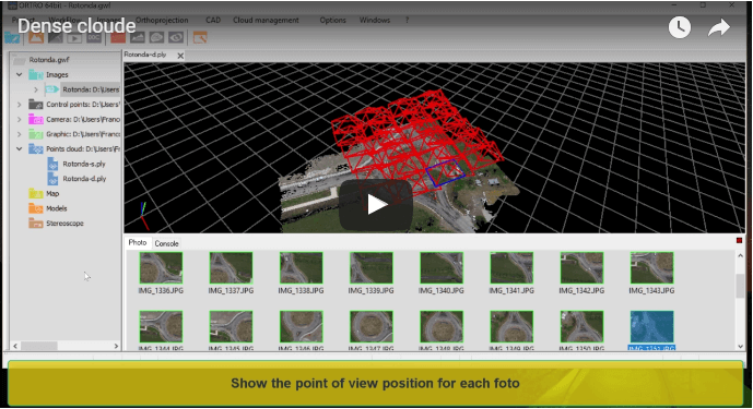
Build mesh and texture
It shows how to create dense cloud, mesh and texture after images alignment.
A dense cloud is a dense point set representing the most complete tridimensional information available from aligned images.
The dense cloud is a model of a complex 3D surface that can be rebuilt automatically using meshes and texturization.